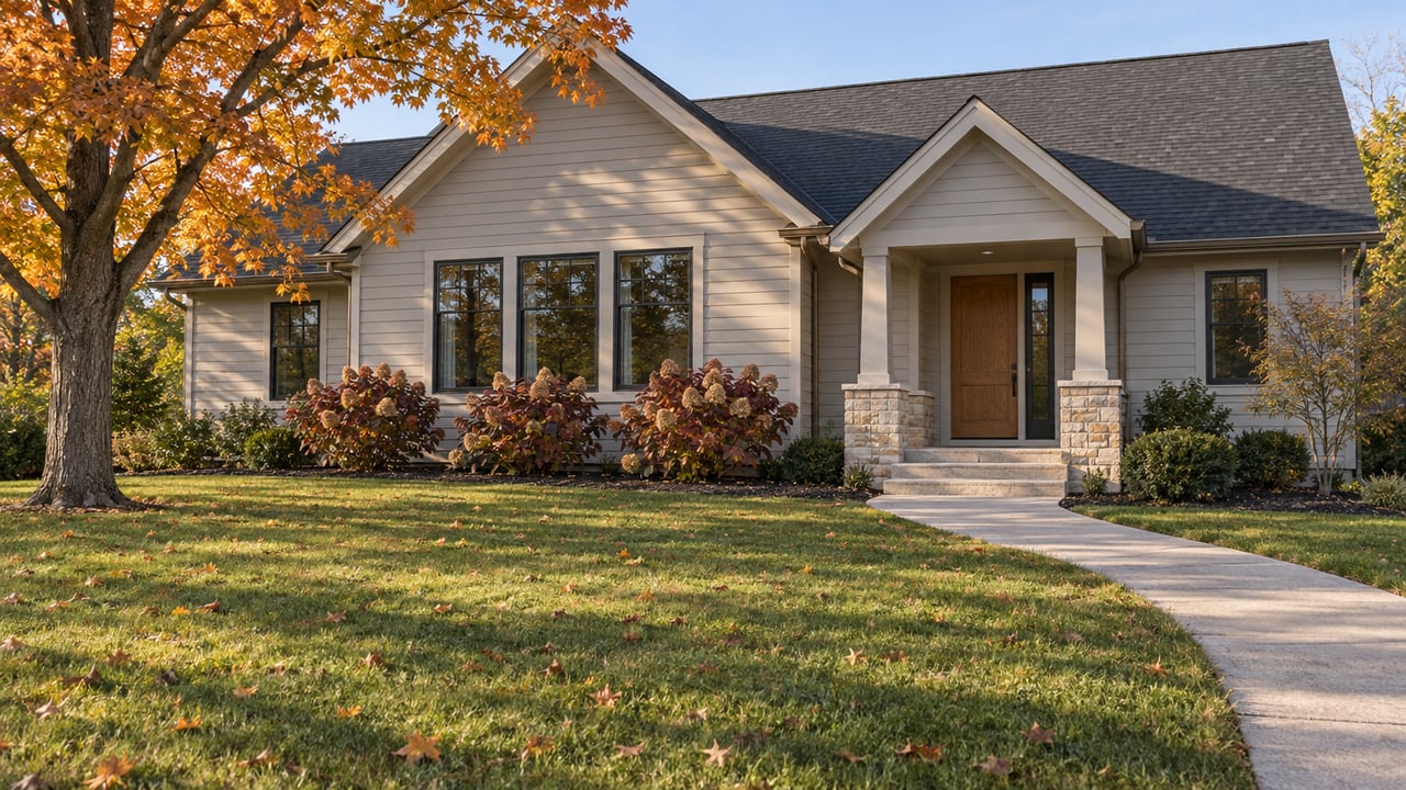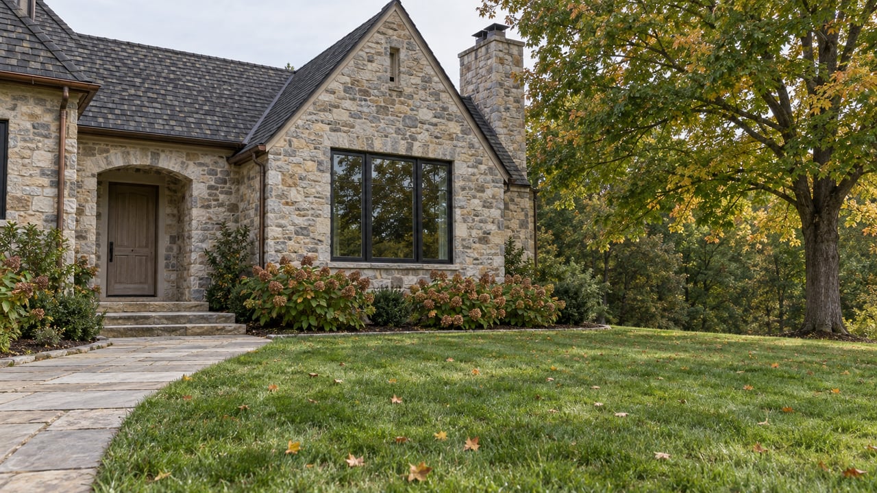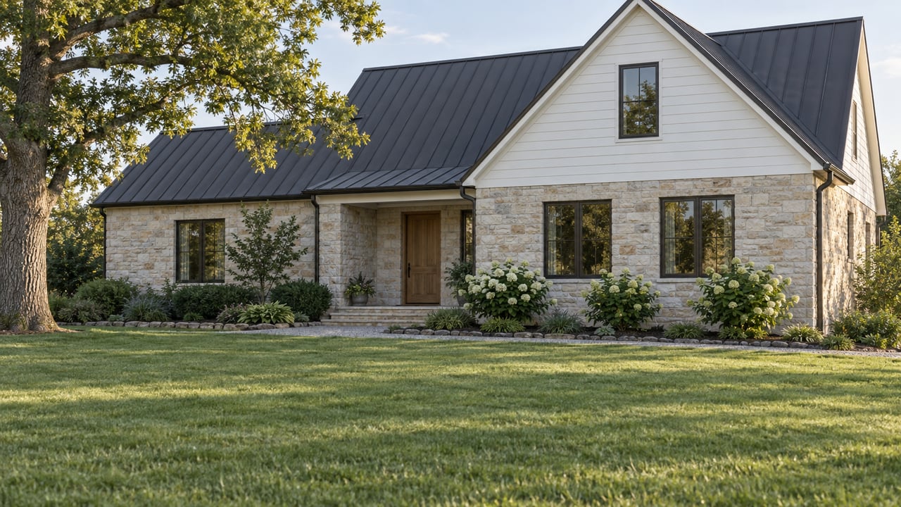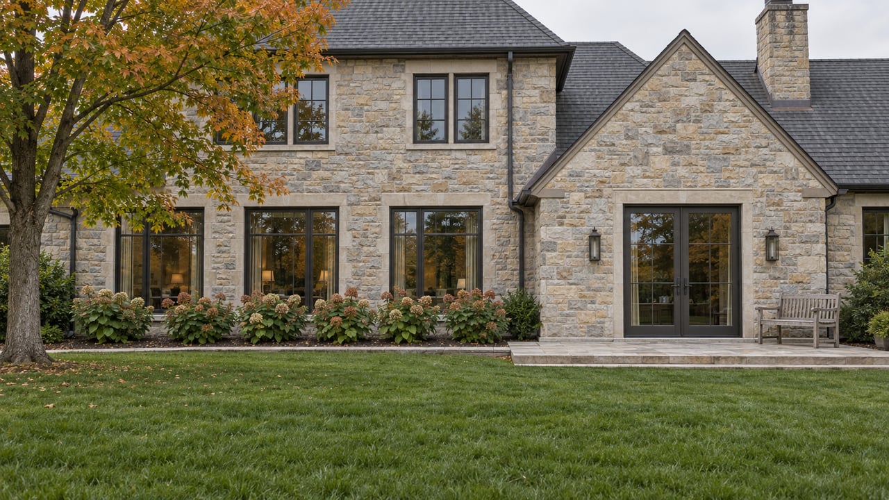
How can a Brentwood subdivision hold to the city's one-home-per-acre rule and still plat lots of about a third of an acre? It can do that under a zoning district called OSRD, and Brentwood added its newest example on August 24, 2026. That night the City Commission annexed about 76.72 acres west of Hillsboro Road and south of Old Hickory Boulevard and gave the land OSRD and R-2 zoning on second and final reading.
The density rule is a ratio applied to a whole tract. In an OSRD subdivision, the acre behind each home is split between a private lot and a share of common land. That land is deeded to a homeowners association, which must insure it, pay its taxes and maintain it, and in most cases cannot sell it. Two Brentwood homes with very different lot sizes can each stand for one full acre of the city's density math. One owner holds all of that acre outright. The other holds part of it and shares the rest.
The Crews tract, piece by piece
The Williamson Herald has called the proposal the Crews subdivision and reported that first reading passed on July 13. City staff presented the layout to the Planning Commission on August 3.
| Portion | Acreage | What it holds |
|---|---|---|
| OSRD | 52.82 | 25 lots and about 32 acres of common open space |
| R-2 | 23.90 | One reserve parcel until it gains legal road frontage |
| Davidson County share | About 7 | Part of the tract; the whole property is assessed in Williamson County and falls under Brentwood permitting |
Take the 32 acres of open space out of the OSRD portion and about 20.8 acres remain. Those 20.8 acres have to hold all 25 lots plus the internal streets, which works out to less than an acre per home before any road is drawn. The plan still meets the one-per-acre standard. The other share of each home's acre sits in the green on the site plan.
How the code assembles the acre
Brentwood's OSRD rules are in Division 5 of the zoning ordinance. The parts that shape what a buyer actually gets:
- Tract size. An OSRD project needs at least 25 acres.
- Density. The cap is one detached home per acre of buildable area, and standard 50-foot internal street right-of-way does not count as buildable. The lot count also cannot exceed what the existing zoning would have allowed on the conceptual plan.
- Lot minimums. The minimum is 14,000 square feet for a conventional lot and 21,780 square feet for a transitional lot.
- Open space formula. Required usable open space equals the number of lots times one acre, minus the combined acreage of those lots.
- Green space on each lot. At least 40 percent of every lot has to stay free of permanent improvements and impervious surfaces.
Rule four is what makes the system work. A 14,000-square-foot lot is about 0.32 acre, and a transitional lot of 21,780 square feet is exactly half an acre. Every square foot taken off a private lot has to come back as common land, so lots plus usable open space always add up to at least one acre per home.
Not every acre counts the same in that formula. Inside open space with slopes of 25 percent or more, only a quarter of the land counts as usable. Brentwood has plenty of hills, so a subdivision whose common land runs up a steep slope needs far more total acreage to meet its requirement. A wooded ridge behind an OSRD street often stands for a much larger share of the open-space count than its usable area would suggest.
Lot size depends on where the lot sits
The code adds a rule for edges. An OSRD lot that borders an existing residential development must be one acre, or at least as large as a neighboring lot that is under an acre. It can be smaller only if the lot plus any permanent open space between it and the older neighborhood adds up to that same area.
This means lot sizes inside one OSRD neighborhood follow position. Perimeter lots facing an established subdivision carry larger minimums or a buffer strip of green. Interior lots can shrink toward the 14,000-square-foot floor. Two homes with the same floor plan in the same neighborhood can sit on very different amounts of private ground, and the plat explains why.
Who owns the green, and when it changes hands
The open space does not belong to homeowners on day one. Brentwood's code says designated open space must be deeded by the developer to a homeowners association or another entity the Planning Commission approves. When the deed goes to an HOA, open space inside a specific section transfers only after certificates of occupancy have been issued for more than 75 percent of the approved lots in that section. Open space outside a specific section, or in a section with no homes, waits until more than 75 percent of the approved lots in the whole subdivision have certificates of occupancy. Before either transfer, the city's engineering department must inspect the open space and confirm that the required amenities and improvements are finished and can be safely maintained.
After the transfer, the association's governing documents must make it responsible for property and liability insurance, local taxes and ongoing maintenance of the open space and its amenities. The HOA also may not sell or lease any interest in the designated open space except under narrow conditions the code spells out.
That gives the arrangement two sides. The green beside an OSRD home is protected about as firmly as private land can be in Brentwood, and the plan that fixes its location is locked in early. The city's Planning and Zoning 101 page says an OSRD rezoning has to be filed together with a proposed development plan, and that plan is binding and becomes the basis for the plat. The cost of keeping that land in good shape is shared by every household, permanently.
Comparing the districts side by side
The same city page lists typical minimums for each residential district and names example neighborhoods.
| District | Lot standard | Example subdivisions named by the city |
|---|---|---|
| AR | Three-acre minimum | Old Smyrna Road corridor |
| R-1 | Two-acre minimum | Not listed |
| R-2 | One-acre minimum | Brenthaven, Meadowlake, River Oaks, Indian Point |
| OSRD | Lots under an acre allowed; one unit per buildable acre | McGavock Farms, Chenoweth, Raintree Forest, Annandale, Taramore |
| OSRD-IP | OSRD purposes with more land preservation | Berkley Walk, Owl Creek, portions of Windstone and Taramore |
In an R-2 neighborhood, the whole acre is inside the owner's property line. In the established OSRD neighborhoods, part of it shows up as shared amenities and a monthly bill. Chenoweth's management company lists dues of $110 per month, with a $35 late fee after the 15th, on a page dated May 2026. A Williamson Scene profile of Chenoweth describes two pools, two tennis courts, a playground, a clubhouse and bike paths. The Raintree Forest association's site reports recent pool-deck and pool-bathroom work, tennis-court repairs, playground mulch and landscaping, along with a walking path that connects to a trailhead.
Those line items are the open space acre at work. A buyer pricing an interior OSRD lot against a one-acre R-2 lot is comparing a smaller private yard plus pools, paths and permanently protected green against a larger yard the owner maintains alone.
The broader market leaves room to make that comparison carefully. Greater Nashville REALTORS reported 15,536 active listings across its nine-county region in September 2026, up 6 percent from a year earlier, with an average of 57 days to contract and 5.7 months of inventory. Those are regional figures, not Brentwood-specific ones. Even so, a regional pace like that usually leaves enough time to pull a plat and read an HOA budget before writing an offer.
The reserve parcel shows what isn't open space
The R-2 part of the Crews tract makes a useful contrast. Its roughly 24 acres will stay one reserve parcel until the land gains legal road frontage, according to the staff presentation in the August 3 Planning Commission video. It is private acreage under a one-acre-minimum district, and what happens to it next depends on access it does not yet have. The 32 acres of OSRD open space next to it are on a different track. They are headed to an association that is required to keep them.
So two large green areas on the same site plan carry very different futures. Telling them apart takes a look at the zoning map and the plat.
Questions buyers ask about OSRD
How is OSRD-IP different from OSRD? The city describes OSRD-IP as an overlay built to encourage more significant land preservation and a wider range of housing options while keeping the one-unit-per-acre standard. Berkley Walk and Owl Creek are the city's named examples.
Is the online zoning code fully up to date? Brentwood's municipal codes page notes that the online code on Municode was updated September 24, 2026 and is codified through Ordinance 2026-06, adopted July 27, 2026. It also says the online version may not reflect the newest legislation, so check with the city before relying on any section.
Does every OSRD neighborhood charge the same dues? No. Each association sets its own budget. The Chenoweth figure above reflects one neighborhood's posted rate as of May 2026.
This post is general information about how Brentwood's zoning code reads. It is not legal, tax or financial advice. Confirm the details of any specific property, plat or HOA with a qualified attorney or the appropriate professional.
If you are weighing an interior OSRD lot against an R-2 acre, or you own acreage that could be planned either way, Greg Sanford can go through the plat, the open space math and the county process with you, backed by years of county commission experience. Request a private consultation.