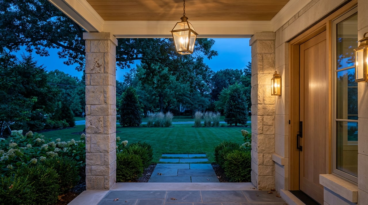
What is the most valuable path for your Thompson’s Station property right now: keep it as an estate, subdivide, or pursue a rezoning? If you are weighing options, you are not alone. Many local landowners and luxury homeowners face the same decision as the town grows and infrastructure expands. In this guide, you will learn how Highest and Best Use works, how it is tested, and how to apply it to your specific parcel in Thompson’s Station. Let’s dive in.
What “highest and best use” means
Highest and Best Use (HBU) is the reasonably probable and legal use of land that is physically possible, supported by the market, financially feasible, and results in the highest value. Appraisers rely on HBU to judge land value and to evaluate whether current improvements match what the market would value most today.
You apply HBU to vacant land and to the land component of improved properties. That means even a luxury home on acreage can be tested to see if the current use is truly optimal or if subdivision, renovation, or redevelopment would create more value.
The four standard tests
For a use to qualify as highest and best use, it must pass all four tests:
- Legally permissible. Is the use allowed by zoning, covenants, and codes? Does it align with the town’s planning policies?
- Physically possible. Does the site’s size, shape, topography, access, utilities, soils, and environmental conditions support the use?
- Financially feasible. Do realistic revenues exceed costs, including site work, approvals, and carrying costs?
- Maximally productive. Of the feasible options, which use produces the highest land value or net present value?
Appraisers document these tests and conclude HBU “as vacant” and, if needed, “as improved.” If the current improvements do not represent HBU, you may see analysis of land value plus the contributory value of improvements or demolition costs.
How appraisers apply HBU
Appraisers use market data and accepted methods to support HBU conclusions. They consult Appraisal Institute guidance and USPAP standards for methodology and reporting. Tools often include:
- Sales comparison for land and lot sales.
- Income or cash flow modeling for income-producing or speculative projects.
- Residual land valuation to estimate land value after development costs and expected sales are considered.
If you need a formal opinion for lending, estate planning, or major decisions, consult a qualified MAI appraiser or experienced land planner.
Local factors in Thompson’s Station
Thompson’s Station has a clear planning framework that shapes what is permissible and practical on any site. Before you outline a strategy, verify the following.
Check zoning and plan designations
- Town zoning ordinance, subdivision rules, and any planned development or PUD options.
- Comprehensive plan and future land use map that guide density and preferred locations for residential or neighborhood commercial uses.
- Any prior rezonings, proffers, or development agreements on the parcel that may carry ongoing obligations.
Utilities and access
- Sewer and water availability are often the biggest swing factors. Connection to municipal sewer can change feasible density, while septic may limit lot yield and add cost.
- Road frontage on a town, county, or state route will affect permit requirements, right-of-way needs, and the cost of frontage improvements.
Environmental and historic constraints
- FEMA floodplains, stream buffers, and regulated wetlands reduce developable area and shape site layout.
- Steep slopes and soils affect grading and septic feasibility.
- Historic resources or conservation easements may limit redevelopment or require specific design solutions.
Annexation and approvals
- Confirm whether your parcel is inside town limits or in unincorporated Williamson County. Annexation and municipal utilities may be relevant for some tracts.
- Track recent Town Council or Planning Commission actions. Policy updates can change permitted densities or the likelihood of certain uses.
Market signals to watch
Your HBU result depends on market demand, competing supply, and timing.
Demand drivers
- Buyers seeking larger lots and estate settings near the Nashville metro.
- Households drawn by location, amenities, and proximity to public schools.
- Builders targeting low to mid-density subdivisions where utilities and approvals align.
Williamson County has historically commanded a premium relative to the region. Support for luxury product here often ties to location and lot characteristics.
Supply and pipeline
- Finite buildable acreage in and around Thompson’s Station, with some tracts held long term or under conservation.
- Planned residential projects and permitted lots that shape competition for luxury-lot buyers.
- Infrastructure lead times that may favor lower-density estate uses until utilities extend.
Feasibility and timing
- Subdivision and development pro formas are sensitive to small swings in home prices, absorption pace, site work, financing, and required developer return.
- Entitlement processes, including rezonings or annexations, can take months or longer. Holding costs and the time value of money matter.
Common scenarios and what to do next
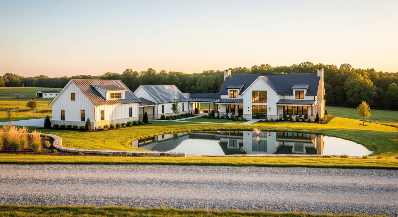
Estate or acreage subdivision
Ask whether subdividing into several luxury lots creates more value than selling as one estate. Test:
- Does current zoning or a PUD path allow your target lot count?
- Can you connect to sewer and water, or will septic and wells limit yield?
- Do expected lot prices cover roads, utilities, stormwater, surveys, and fees?
Practical steps:
- Obtain a boundary and topographic survey.
- Confirm utility availability and connection costs.
- Sketch a preliminary lot yield and road layout with a civil engineer.
- Run a residual land value pro forma or consult a builder for pricing and absorption.
- Check floodplains, wetlands, and setbacks before you budget.
Infill on smaller parcels
Consider whether your lot can be split or improved as a small infill project.
- Verify setbacks, lot coverage, and any HOA or deed restrictions.
- Confirm sewer capacity and fees, or test septic viability if no sewer.
- Compare recent infill lot and home sales nearby to gauge demand.
Considering commercial or mixed use
If you are near a major corridor or intersection, you may ask whether neighborhood retail or office is feasible.
- Check whether the comprehensive plan supports commercial or mixed use at your location.
- Review traffic counts and the need for off-site improvements such as turn lanes or signalization.
- Commission a market feasibility snapshot for likely tenants or purchasers.
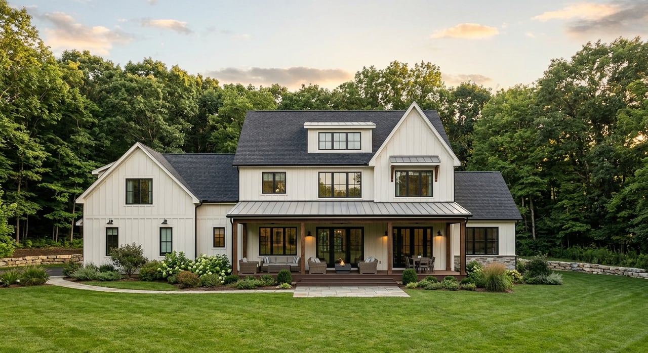
When a luxury home is not HBU
A large estate can become functionally obsolete if the market prefers updated layouts or more efficient footprints. In some cases, renovation, partial subdivision, or even demolition and redevelopment may yield more value.
- Compare renovation cost against market premiums for updated homes.
- Evaluate subdivision potential of excess land around the home.
- Ask an appraiser to state HBU “as vacant” and “as improved,” and to quantify the contributory value of the existing structure.
What a professional HBU review includes
A scoped HBU review or appraisal typically covers:
- Site inspection and documentation. Topography, utilities, access, and environmental red flags.
- Regulatory review. Zoning, comprehensive plan, overlays, easements, covenants, and historical designations.
- Market analysis. Demand, comparable sales, competitive supply, and absorption assumptions.
- Financial feasibility. Site work and infrastructure costs, pricing or rents, developer return targets, and residual land value if applicable.
- Conclusion. Clear HBU statements for the land as vacant and as improved, with sensitivity to key assumptions and entitlement probability.
Deliverables can include a formal HBU letter or inclusion in a full appraisal, yield sketches, a developer-style pro forma, and an entitlement strategy memo. Owners use these to decide whether to list, hold, invest in improvements, or approach builders and developers.
Quick checklist for local owners
Gather these items to accelerate your analysis:
- Current deed, legal description, tax parcel ID, and any plats or recorded easements.
- Recent assessor card and utility availability map for water and sewer.
- Zoning confirmation and future land use designation for the parcel.
- Recent comparable sales for similar land, lots, or luxury homes.
Who to consult:
- Town of Thompson’s Station planning and building staff for zoning verification and plan interpretation.
- Williamson County assessor or recorder for parcel and transaction data.
- A licensed land surveyor and civil engineer for site constraints and cost estimates.
- A qualified MAI appraiser or experienced land appraiser with Williamson County experience.
- A local land-use attorney and, if needed, a builder or developer for feasibility input.
Questions you should be ready to answer:
- How long do you plan to hold the property, and who is your target buyer?
- Are you willing to pursue a rezoning, PUD, or special exception?
- What budget do you have for entitlement and site work?
- Do you know of any prior approvals, covenants, or restrictions on the parcel?
Action plan: your next three steps
Pull your records. Collect your deed, surveys, parcel ID, and any covenants or easements. Note zoning and the comprehensive plan designation.
Verify constraints. Speak with town staff about zoning and utilities, and ask a surveyor or engineer to flag topography, soils, floodplain, and access.
Commission a scoped review. Engage an appraiser or land planner to run an HBU memo or appraisal with a residual land analysis if subdivision or redevelopment is on the table.
Work with a local advisor
HBU is objective and evidence based. In Thompson’s Station, the outcome often hinges on sewer and water access, the town’s plan designations, and current Williamson County demand. If you want to test whether your estate, acreage, or improved home is positioned for maximum value, start with the steps above and then sit down with a local expert who can translate the findings into a practical strategy.
If you would like a confidential review tailored to your property, request a private consultation with Greg Sanford.
FAQs
What is highest and best use in real estate?
- It is the reasonably probable, legal, physically possible, and financially feasible use that produces the highest value for a specific site.
How is highest and best use tested for a property?
- Appraisers apply four tests, then support conclusions with market data, cost estimates, and accepted valuation methods.
How long could a rezoning or annexation take in Thompson’s Station?
- Timelines vary by scope and required improvements, but it often takes months and can extend longer for complex cases.
Can subdividing my estate in Thompson’s Station increase value?
- Possibly, but it depends on zoning, utility access, site costs, and buyer demand, which you can test with a residual land pro forma.
Do I need sewer for a feasible subdivision in Thompson’s Station?
- Not always, but sewer access can increase feasible density and reduce septic limits; lack of sewer can lower lot yield and raise costs.
What deliverables should I expect from an HBU review?
- A memo or appraisal stating HBU as vacant and as improved, market support, a feasibility or residual analysis, and an outline of entitlement steps.